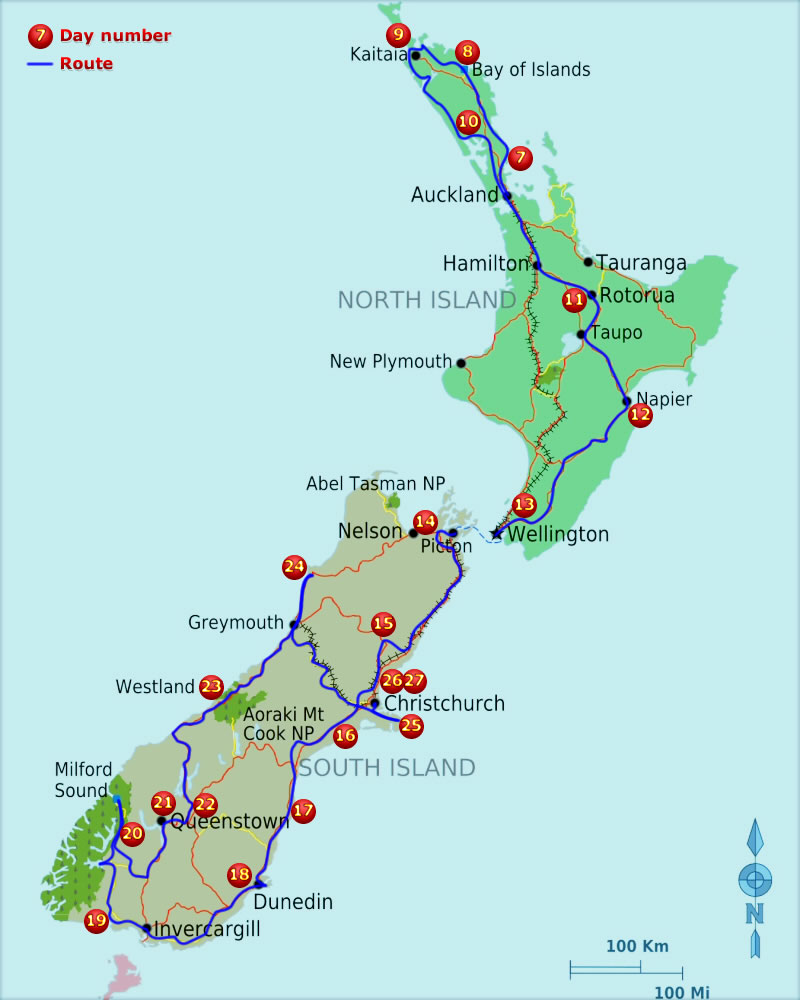
Not in any great hurry today as we only have to drive the 30km or so to Wellington to catch the ferry to the south island. By 10am we were in Wellington and headed up Mount Victoria for the stunning views across the whole of the city and bay. Still with time to spare we headed to the seafront for some brunch and to watch the wrold go by as we ate and sipped coffee. Even after this leisurely start to the day we still got to the ferry terminal quite early for our 2:05pm sailing, at 12:30.
We set sail a little late at 2:30pm and enjoyed the sunshine on the upper deck but it didn't last long because as soon as we got out of the shelter of the land the wind really picked up. The straits between the island are renowned for their winds and Wellington is nicknamed 'The windy city' so we had half expected it. Thankfully the sea was calm and the journey across the 25km of open water was fine as long as you stayed inside. Although the open water distance isn't far, the ferry weaves its way through lots of small islands at the northern tip of the south island and in total the journey is about 3 hours. This latter part of the crossing was much more sheleterd so we ventured back out on deck to take in the scenery as we approached the port.
On docking at Picton, we made for Queen Charlotte Drive, a road that follows the north coast to the west of Picton with excellent views of the bays and islands on the way. About 30km along this road we came to a place called Momorangi Bay and as it was now gone 5pm we pulled into a campsite there for the night. We used the laundry services and charged all our electronic devices and even got the van's awning and table out for the first time. Doing this gives a surprising amount of extra room but in the limited space of the van putting it all up and taking it all down again is not the easiest of tasks.


