We started the day with a walk around the cliffs at Punakaiki - the so-called 'Pancake Rocks' and blowholes. The cliffs have got their name from the hundreds of layers they're made up from giving the impression they are huge stacks of pancakes and scientists are still undecided as to exactly how they were formed. The blowholes within the cliffs are quite interesting but more impressive in stormy weather and at high tide, neither of which is the case.
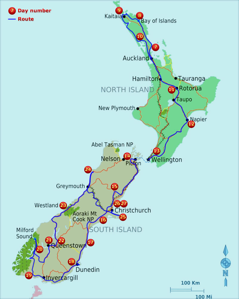
We started making our way south back towards Greymouth and Arthur's Pass along the state highway, driving across a very interesting bridge. Not only was it a one lane bridge, but there was also a railway line down the middle of the road! A few kilomteres up the road and we encounter another road/rail combination - a level crossing across the middle of a roundabout where two state highways meet. It helps that the trains are few and far between here and are primarily slow moving freight trains but even so, it's a little unnerving when you first come across it.
A few kilometers more and we turn east on to Arthur's Pass, one of just two roads that cross the south island's alpine range. We've only been driving along the pass for a few minutes when I have to break and swerve sharply as a car heads toward me on my side of the road overtaking a motorhome coming in the opposite direction. Luckily the car coming towards us sees us in time and drives up my verge so I can drive between him and the motorhome - a close shave!
Arthur's pass is a steady climb to 900 meters above sea level and down again to the flatlands around Christchurch, about 80 km east. From tight zig-zag mountain roads to seemingly endless straight, flat roads in just over an hour. We stopped on the way in Sheffield and bought a couple of the pies the town is famous for - they were very good actually, up there with the best of the pies like Morrisons! We drove past Christchurch and out to the Bank's Peninular which is an extinct volcano basin just joined to the coast by the city. The semicircular ridge of hills which were once the rim of a volcano are about 10km in diameter and as we drive over the first ridge into the bowl the sheer scale of it is breathtaking.
We plumped for a motorhome site on the far side of the peninsular which involved lots of very narrow and twisting roads up and down hills and eventually on to an unsealed road in the back of beyond. We didn't find the site and only after climbing back out of the valley did we see the sign saying it had closed (not visible to us in the direction we arrived). We continued along the road that follows the ridge of the hills and found a small area which although quite exposed to the wind is miles from anywhere and has incredible views over the centre of the peninsular (a huge natural harbour). It was getting late by this time so we set up the campervan for the night and I tried to take some pictures of the stars as the conditions were perfect and so many could be seen. I got a couple of good shots but I'm sure I'm not using the camera to its full potential yet.


